Changing Landscapes Initiative
The Changing Landscapes Initiative is a Smithsonian-led program that bridges the gap between scientists and communities. CLI scientists work alongside community members to evaluate the impacts of land-use change on wildlife, ecosystem services and community health. Its mission is to combine research with community wisdom to help secure a vibrant and healthy future for people and wildlife.
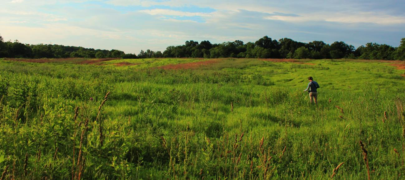
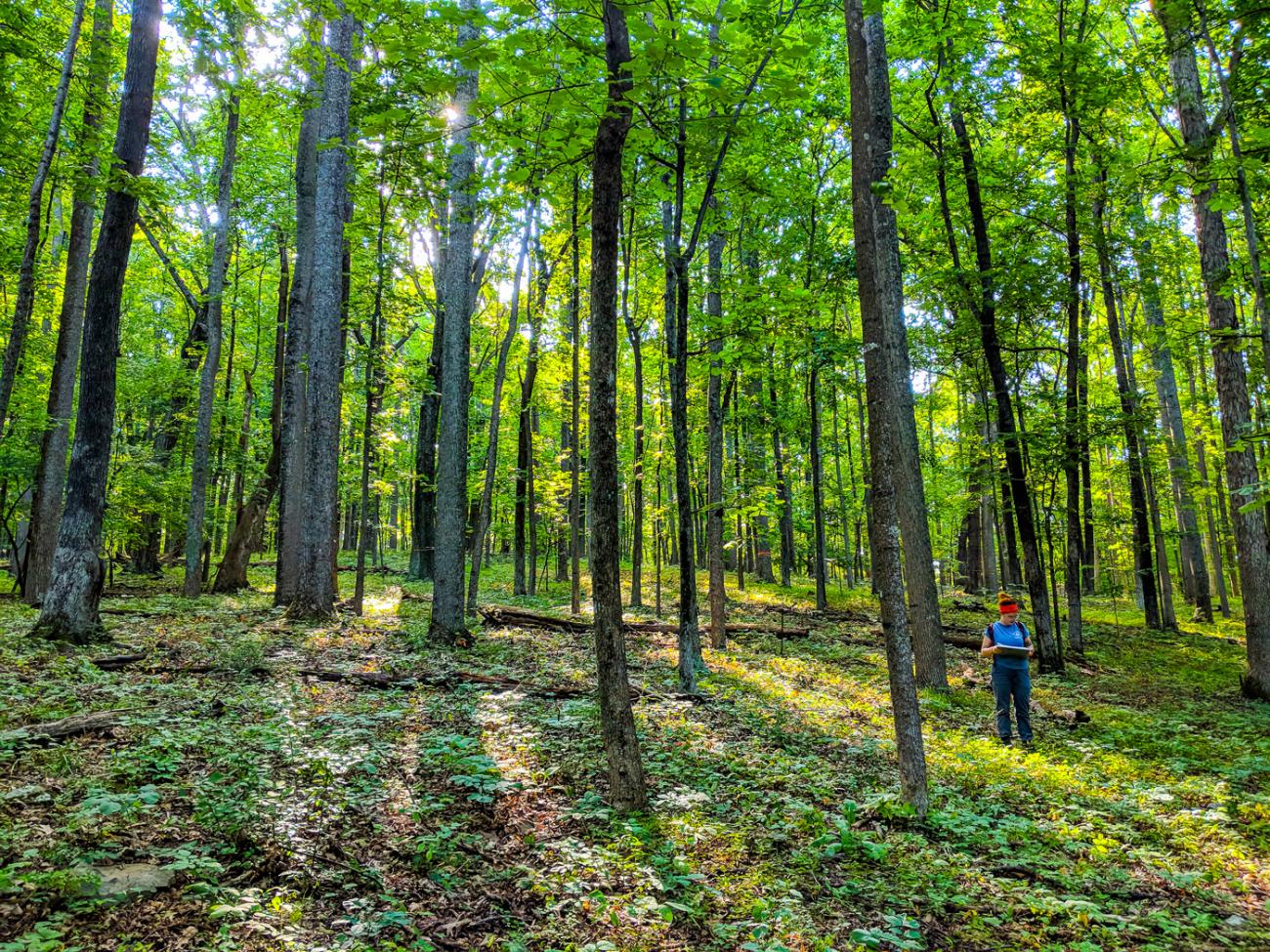
To date, CLI's work has focused on a 15-county region in Northwestern Virginia that surrounds Shenandoah National Park and borders George Washington National Forest. The landscape in Northwestern Virginia provides opportunities for agriculture, recreation and tourism — all of which uphold thriving local cultures and economies and create a unique sense of place. Yet, this region is experiencing rapid change driven by a growing population and its proximity to nearby cities like Washington, D.C. and Baltimore, Maryland.
Northwestern Virginia is not alone in this regard, however. Wildlife habitat, water quality and scenic views are impacted as development expands into historically rural and agricultural areas around the globe. How can the communities living in these areas meet their current and future needs without compromising their character and natural resources?
CLI scientists aim to help answer this question by using scenario planning and land-use modeling to develop scientifically credible research that is both informed by, and relevant to, the communities it impacts.
Scenario Planning
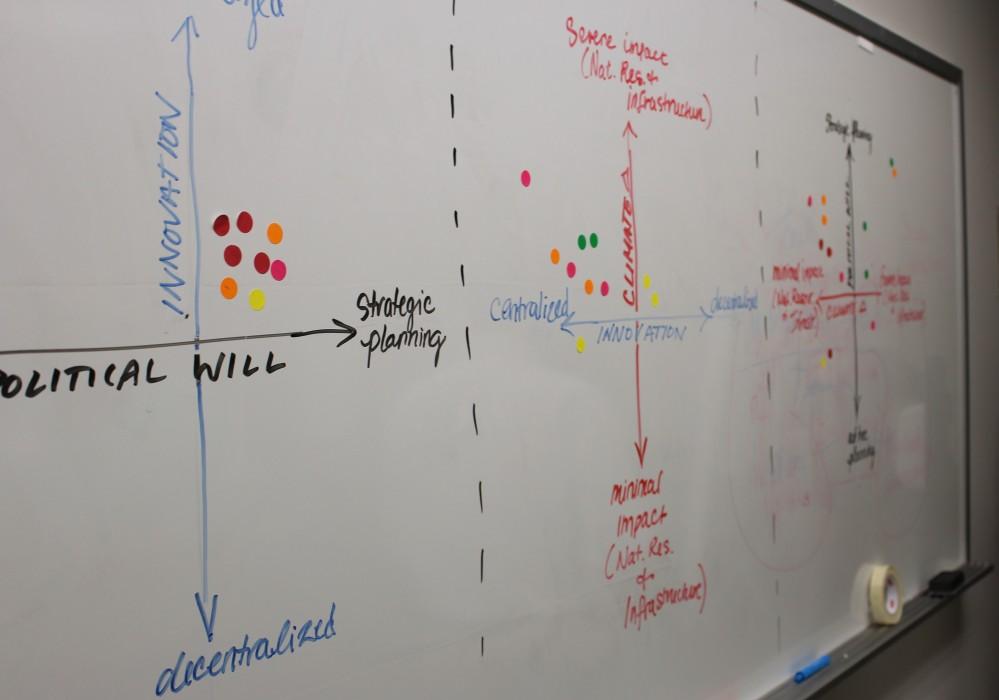
Scenario planning is a strategic forecasting method that accounts for uncertainties. It results in flexible, resilient long-term plans. Scenario planning involves direct communication between scientists and communities. It broadens ideas of what the future may look like and helps communities prepare for unexpected, yet potentially impactful events. CLI's process brings regional decision makers, scientists and conservationists together to envision how land-use decisions made today may impact the landscapes of tomorrow.
Read a case study on scenario planning.
Land-use Modeling
Scientific models are used to examine observable patterns, such as land-use change. Interpreting these patterns gives people a better understanding of the world and an ability to make projections of what the future could look like. CLI researchers create scientific models that simulate potential future landscapes. Their work helps local planners, landowners and policymakers visualize the impact that regional land-use decisions have on both natural and human systems.
Read a case study on land-use modeling.
The Changing Landscapes Initiative was made possible thanks to generous support from the Smithsonian’s Environmental Research Center, Piedmont Environmental Council, Appalachian Trail Conservancy, United States Geological Survey, Shenandoah National Park Trust, Shenandoah Valley Network, Virginia Tech, and the researchers and citizen scientists at eMammal and Virginia Working Landscapes.

